Key Takeaways
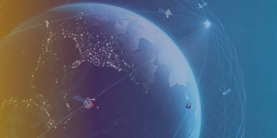
- NUVIEW, a geospatial technology company based in Florida, plans to launch a constellation of 20 LiDAR satellites to create 3D maps of the Earth's entire land surface.
- LiDAR technology employs pulsed lasers to measure distances by calculating the time it takes for reflected light to return to the receiver, and only around 5% of Earth's landmass has been mapped using LiDAR so far.
- Recent advances in LiDAR components and satellite technology have made NUVIEW's plan technically feasible, with small satellites capable of generating enough power to run a LiDAR system.
- NUVIEW will initially launch a proof-of-concept satellite before launching the commercial constellation in tranches of five satellites with an 18-month gap between each launch.
- LiDAR data has applications across numerous industries, including optimizing crop yields and water usage for farmers, creating more efficient and sustainable environments for cities, and providing valuable data sources for AI and machine learning.
Florida-based geospatial technology company NUVIEW recently announced its ambitious plan to launch a constellation of 20 LiDAR satellites designed to create 3D maps of the Earth’s entire land surface.
The announcement was made during the Geospatial World Forum held in Rotterdam, the Netherlands. LiDAR, or Light Detection and Ranging, technology employs pulsed lasers to measure distances by calculating the time it takes for reflected light to return to the receiver.
So far, only around 5% of Earth’s landmass has been mapped using LiDAR.
Overcoming Technical Challenges to Bring LiDAR to Space
Historically, LiDAR technology has been primarily deployed through unscalable and costly platforms such as aircraft and drones.
Space-based LiDAR systems, like the ones used by NASA, are large and power-intensive, making them difficult to scale.
However, recent advances in LiDAR components and satellite technology have made NUVIEW’s plan technically feasible.
The company has managed to reduce the size and weight of its system, and its LiDAR satellites are capable of scanning large areas at once.
Furthermore, the evolving space industry, spearheaded by companies like SpaceX, has led to decreased launch costs and the development of commercially available small satellites capable of generating enough power to run a LiDAR system.
According to Clint Graumann, CEO and co-founder of NUVIEW, all satellite bus manufacturers that the company is currently in discussions with can produce platforms powerful enough for the LiDAR payload.
Florida-based geospatial technology company NUVIEW recently announced its ambitious plan to launch a constellation of 20 LiDAR satellites designed to create 3D maps of the Earth’s entire land surface.

From Proof of Concept to Commercial Constellation
NUVIEW will initially launch a proof-of-concept satellite called “Mr. Spoc,” although no firm launch spot has been reserved yet.
Following the successful demonstration of their technology, the company plans to launch the commercial constellation in tranches of five satellites, with an 18-month gap between each launch until the full 20-satellite constellation is achieved.
The company has already secured over $1.2 billion in contracts with prospective customers for its data, which has applications across numerous industries.
Farmers can use the data to optimize crop yields and water usage, while urban planners can leverage it to create more efficient and sustainable environments for cities.
A Valuable Data Source for AI and Machine Learning
LiDAR data is particularly valuable for AI and machine learning, as it provides billions of discrete data points that can be used to train and develop sophisticated algorithms.
Existing space-based sensing customers have expressed interest in fusing their data with LiDAR to enhance the robustness of their products.
As NUVIEW works on building a new facility in Orlando, complete with optics, integration, and laser labs, the company’s ambitious project has the potential to revolutionize the way we understand and interact with our planet.


